 |
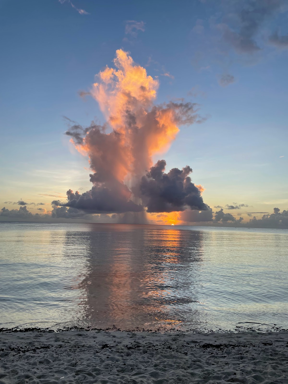
| Sunset, San Antonio Beach, Saipan |
Saipan is the largest of the Northern Mariana Islands. This archipelago of 14 islands (plus Guam) was formed 42 million years ago when the Pacific tectonic plate subducted under the Mariana Plate, causing volcanoes to form (as well as creating the Mariana Trench – the deepest ocean trench on earth). Because of its location near the Japanese home islands, the Marianas played a large part in the War in the Pacific. For the next week, I would learn about the various historical landmarks around the island, as well as the role that the indigenous Chamorro and Carolinian people played during the war.

Our first day of the seminar gave us an overview of the island and the historical landmarks around Saipan. We loaded into vans and first drove down to Susupe Park, which is the site of the landing beaches from Battle for Saipan. We got a quick overview of the invasion from underwater archaeologist and maritime studies professor Jen McKinnon. Looking out into the water, the first thing I noticed was the very shallow reef – for more than 200 yards out, the water is shallow enough to walk across.

 |
| I spy with my little eye… a Sherman tank! |
The weirdest sight at this beautiful beach when looking out across the vast Pacific Ocean were the tops of two Sherman tanks, with their gun turrets poking up out of the water. According to the locals, many people wade out and swim around and climb the tanks.
We had lunch on the beach (homemade local food of chicken, ribs, red rice, and pickled papaya – delicious!) before loading up into the cars for our tour to landmark sites. We first headed up to the As Lito airfield in highlands near the current Saipan International Airport. Although the airfield had been built by the Japanese in 1934, it was captured by the US early in the battle and turned into Isley Field, a base for B-29 bombers.

 |
| Inside the munitions bunker |
We toured the concrete bunkers that once warehoused Japanese aerial bombs. Right outside was a thick concrete wall that was built to protect the surrounding area in the event the bunker was hit and the bombs exploded.

On the way out, we stopped to see the abandoned tanks and the rest of the As Lito airfield, including the remains of the power station and air raid shelters, as well as several abandoned Sherman tanks.
 |
| Clearing Japanese foxholes, June 16, 1944 |

After the Japanese surrendered Saipan, it was discovered that civilians had been sent propaganda about what would happen if captured by the Americans. They were told that the women and children would be raped or eaten, so many civilians chose to commit suicide rather than be caught. Families flung their young children over the cliff so they wouldn’t be taken by the US. It was also part of the Bushido code that surrender was dishonorable, and that death was preferable to capture. Because of this, many soldiers and civilians jumped to their death.

 |
| May Peace Prevail On Earth |
Overlooking the Banzai cliff in the limestone mountain was Suicide Cliff, and we drove to the top for a beautiful view of the Marpi area. Again, it was a bit of a surreal feeling looking at the stunning beauty of the view, yet knowing so many people lost their lives there.
 |
| Army reinforcements wading ashore, a few days after securing the beach in July, 1944. |
We started by stopping at Red Beach, one of the June 15, 1944 invasion day landing areas, to see a Japanese military bunker. These days, the beach is a lovely and relaxing area surrounded by tall trees and other landscaping. The water is clean and clear, with very few people on the beaches. But in the days leading up to the invasion, the Americans had pre-bombed the area to take out as many Japanese bunkers as they could. Nearly all the ground cover had been blown away, and just outside the reef at the height of the invasion, there were so many Navy ships you could barely see any water.
 |
| Hello, Tinian! |
Agingan Point on Saipan’s southern coast is the closest point to Tinian. There is another coastal defensive bunker that once contained guns that were used to defend the strait, and whose range could reach all the way to Tinian. (There also used to be a ferry that crossed the 5 mile strait, but it stopped when the Tinian Dynasty hotel/casino closed). We also saw several sea turtles in the water!

A bit further south on the island is the Obyan Latte site, where we also saw a German-style bunker.

It’s a beautiful, pristine beach with the ruins of what was once a large, ancient Chamorro village. The site was partially destroyed during the preparations for the war, but there are remains of a latte stone house and a small cave.
 |
| The pristine Obyan Beach, Saipan |
 |
| Low tide turns Forbidden Island into a peninsula |
On the eastern side of the island is Forbidden Island, a beautiful tidal island that is only connected to the mainland during low tide. Some say it is called Forbidden Island because of the danger in going – not just the difficulty of the hike, but because many people have washed out to see in the strong currents and fierce waves. We took in the view from the overlook on the promontory above.
 |
| The view from the highest point on the island |

 |
| Inside the Last Command Post cave |

Then we went further up to visit a couple caves – First Kalabera Cave, which was closed but Fred took us anyway to see the petroglyphs and pictographs. On the site was a reconstructed Chamorro hut, showing the latte stones used to raise the living quarters platform.

After a brief rest, Erin and I walked over to Micro Beach at the American Memorial Park (AMP) and waded waist deep in the warm water. It was raining, so we didn’t stay long, but we did visit the defensive bunkers near the beach.
That night we had a film presentation at AMP – We Drank Our Tears was a storytelling project by the children of Saipan, who interviewed their elders to get stories from WWII. We viewed three of these stories that had been made into short films. Very moving and sad, since all of them depicted the remembered stories of people who had friends or family members who died during the Battle of Saipan.

Saturday was originally supposed to be a “water day” along the WWII Maritime Heritage Trail – a collection of underwater heritage sites featuring Japanese and U.S. shipwrecks, assault vehicles, and aircraft wreckage from the Battle of Saipan. In the morning, we headed out on a boat into Tanapag Lagoon, where we’d be able to snorkel and see underwater wreckage.

We were taken to a sunken Japanese Aichi E13A (Allied code name “Jake”) reconnaissance floatplane. It was upside down in very clear water about 20-25 feet down, so it was so cool to snorkel above it. There were visible bullet holes in the tail and one of the pontoons was detached and resting to the side.
 |
| “Have you even HAD dragonfruit unless you’ve had dragonfruit on a boat after snorkeling in a lagoon on Saipan?” |
 |
| Boatbuilder John |
After a nice nap, we met at the AMP to go to the 500 Sails building at Susupe Beach to see the traditional boats and talk to apprentice John about boatbuilding. The native Pacific Islanders were all seafaring people, who have a long tradition of building boats and navigating the seas using just the winds, currents, and stars. But the skills are being lost in the younger generations, so there was a push to revive the old maritime traditions before they are lost. John is an apprentice to a master boatbuilder, and he explained how to build the traditional Chamorro outrigger canoes using the traditional materials and techniques.

On the way back to Garapan, we asked to be dropped the Liberation Day Festival, celebrating the island’s July 21, 1944 liberation from Japanese occupation. There were various events happening all week, with lots of food booths, a bingo hall, and bandstand. We tried a few rounds of bingo – we didn’t win, but it was a lot of fun!


 |
| Preparing the ropes for our climb into Oba’s cave |
To get inside, we had to use a rope to pull ourselves up a 3’ cliff wall. Based on the artifacts that had been left there, it was assumed to be a field hospital. Most of the artifacts were cleared out, but we did find pottery and glass shards. It also had tiny frogs jumping around inside!!

 |
| Wild forest mangoes. YUM |
On the way to the third cave, we tried starfruit and picked up mangoes from a huge tree growing wild in the jungle. We also passed by a Japanese bunker and antiaircraft gun.

 |
| A mother with four children, found by Marine patrol on June 14, 1944 |
 |
| Photographer W. Eugene Smith was sent to document the Battle of Saipan |
 |
| Artifacts left in the cave |
At times during the day, we did have to pause and think about what it would have been like as a Japanese or Chamorro civilian, who had to abandon their home and hide in the caves to escape the fighting. The caves were also used by Japanese soldiers, so when the US Marines came to clear out the island, it was never known whether whoever was hiding inside was a friend or foe. It must have been terrifying for both sides, and sadly there would have been so many casualties from mistaken identity.

That night, we met Vic, who had been CNMI’s Teacher of the Year the same year as Erin and is an agriculture teacher who has his own farm. We met at the Saipan Surf Club for dinner, which was right on the beach and had a lovely view of the sunset. Vic and his wife Angel were a wealth of information, telling us great stories (The saltwater crocodiles! The invasive land snails! His aunt’s mom serving Amelia Earhart!).
 |
| Dinner at Shirley’s with Erin, Emily, Vic, me, Angela, and Aileen |
We also had dinner with Vic the next evening, and he brought us a huge WWII shell casing to examine, plus coconut candy (apigigi) and mangoes and fresh green coconut from his farm. Delicious, and a great taste of sustainable island produce!
Monday was an all-day indoor day at Garapan Elementary
 |
| In CA schools, it’s all about earthquake prep; in Saipan, it’s Unexploded Ordnance |
, with presentations by Nancy Bo Flood about her book, and presentations by indigenous Carolinians about their experiences and knowledge. Navigator Lino Olopai was particularly entertaining, with stories about sailing, the Carolinian culture, and about living in the internment camps during WWII.
 |
| Carillon Bell Tower and Memorial |
In the evening, Erin and I walked over to the American Memorial Park to see all the outdoor memorials. Not only are there tributes to the US servicemen who died during the war, but to the indigenous Chamorro and Carolinians who lost their lives.

 |
| Setting off for their month+ long voyage across the Pacific |
While there, we wandered over to Smiling Cove to see if we could catch a glimpse of the Palau catamaran – and we got there just in time to see it set off! There were several people waving goodbye, and someone on the catamaran was blowing a conch shell.

On our final day on Saipan, we spent the morning Fredding. We visited an old ‘refrigerator’ cave where Japanese used to store beer and sake for the officer’s club located on the cliff above it.

We then went past the area where unexploded ordinance is taken to be disposed of (Fred says sometimes people just drop off their found grenades in front of the fence!)

We hiked into the forest (where we saw several monitor lizards!) to a sinkhole hidden in the dense jungle growth. We could only imagine running through the dark forest and stumbling into this huge gaping maw! After carefully climbing down, we squeezed our way through a small opening into a large underground chamber used by several Japanese families (or soldiers?). There were many war era sake bottles, as well as Japanese graffiti left on the wall.

It was a real spelunking experience!
 |
| Suicide Cliff. The jagged scar in the limestone is where Americans blasted the cliff wall, attempting to neutralize Japanese anti-aircraft guns |

One response to “Marianas Part III: Saipan – Håfa adai & Tirow!”
Once again I have learned so much. I am now even more fascinated by the caves. Thank you. Have you been to Corrigador in the Philippines? It’s amazing